Sailing around the world
Click to see current location and track.
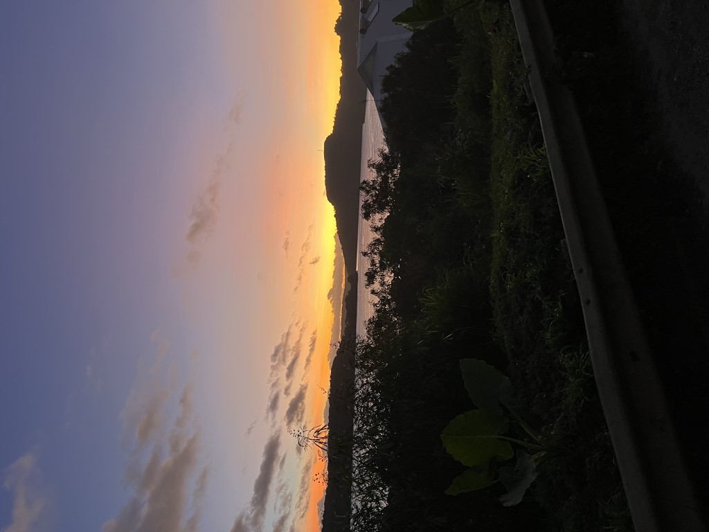
June 29, 2023
Celestial Navigation
Celestial navigation is the ancient art of determining one’s position on the globe using the sun, moon, and stars. Using an instrument called a sextant (a device which measures the angle, or “altitude” of objects above the horizon), an accurate chronometer (watch), and a publication called the Nautical Almanac (which documents the position of the sun, moon, and 57 readily observable “navigational stars” at any point in time), an experienced navigator should be able to calculate his position within one or two miles, which is certainly good enough to identify a small island or atoll in the vast ocean. Of course, since the introduction of GPS, celestial navigation is a dying art. However, in the event of a zombie apocalypse, I want to be able to locate my position. Or if I ever go into outer space, celestial navigation will be essential. I have been fascinated by the topic for years, since I began sailing (before the GPS era). For me, the appeal of celestial navigation arises from its rich history, the mathematics of spherical trigonometry, and my interest in astrophysics (I nearly went to grad school before changing my mind to pursue medicine).
For those readers that are interested, I will try to briefly summarize the concepts of celestial navigation. I will start with an analogy. Imagine that you want to identify your position and all you have is a laser rangefinder and map with the locations of several visible landmarks (e.g., water tower, clock tower, flagpole). In reality, a compass would allow you pinpoint your location, but let’s continue with the analogy. When you measure your distance to the water tower, you can now draw on your map a circle centered on the water tower with radius equal to that measured distance. You know that you are somewhere on that circle. Now you take a measurement of the distance to the clock tower and draw that circle on the map. The two circles will likely intersect in two points, narrowing your possible locations to two. Finally, following the third measurement of the flagpole, the third circle will intersect the previous two in exactly one point – your actual location. This is the technique of triangulation and it is the basis for celestial navigation. We use the sextant to measure angular distances which correspond to circles of position which can be charted. Three “sights” generate three circles of position and the point of intersection reveals your location. The devil lies in the details.

How does the sextant generate circles of position? That is a little complicated, but I will try to explain. First, we have to understand the concept of geographical position (GP, for short). From a distant reference point, the earth is rotating (once per day) and orbiting the sun (once per year). From a geocentric frame of reference, the sun, moon, and stars are whizzing across the sky at varying positions throughout the day and year. At any point in time, you can imagine a line segment connecting the center of any celestial body with the center of the earth. That segment will intersect with the earth’s surface at exactly one point – this is the GP. We can think of the GP as the “location” of the celestial body. It is important to realize that the GP is not fixed; it is moving across the earth’s surface at nearly 1000 mph. Fortunately, we have the Nautical Almanac that allows us to determine the GP of the celestial object at any time (down to the second). You can see that if we don’t have an accurate watch, that we will mis-identify the GP by many miles and our ultimate circle of position will be inaccurate.
The second major concept to understand is geometric in nature and examination of a figure will be essential. Since the sun and stars are very far away, we can make the simplification that the light rays reach the earth in parallel rays (since the moon is closer, this assumption is not valid due to the effect of parallax, but that is beyond the scope of this discussion). When we examine a celestial object with the sextant, we are measuring the altitude (angular distance) above the horizon. When we are standing at the GP of the object, the object is directly overhead (by definition) very briefly (in this case, we can determine our position directly from the GP). Let’s imagine we are examining the sun, and it is not directly overhead. We measure the angle Ho. From geometry, we know that every acute angle has a complement which is defined by 90 degrees minus that angle. The complement of Ho is given the name Zenith Distance (ZD) and is the angular distance from the celestial object to the point directly overhead (the zenith). Now the final step in this convoluted explanation: using the transversal theorem from geometry, the ZD is equal to the angular distance measured from the center of the earth between our actual position and the GP (completely analogous to degrees of latitude). Let that sink in for a while.

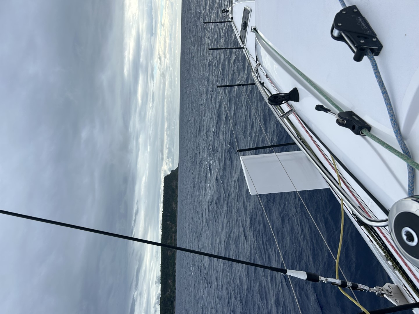
Now, hopefully, you can see that for a given sight (measurement of a celestial body with the sextant) we can identify a circle of position on the earth’s surface (the center of the circle is the GP which we know from the exact time of the measurement and consultation with the Nautical Almanac, and the radius of the circle equals the ZD). Easy, right? There are still many details, but this is crux of the matter. Each sextant sight allows us to identify a circle of position. A second sight (of another object) narrows our position to two points, and a third sight (third object) nails it down. The figure below shows a practical example.

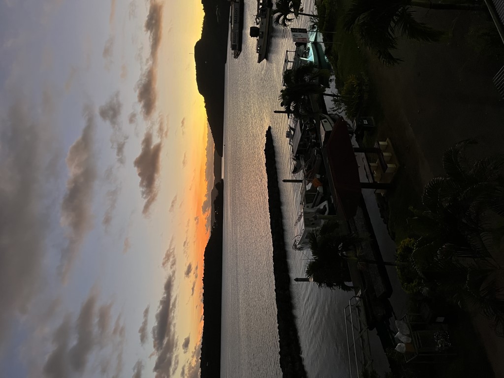
June 28, 2023
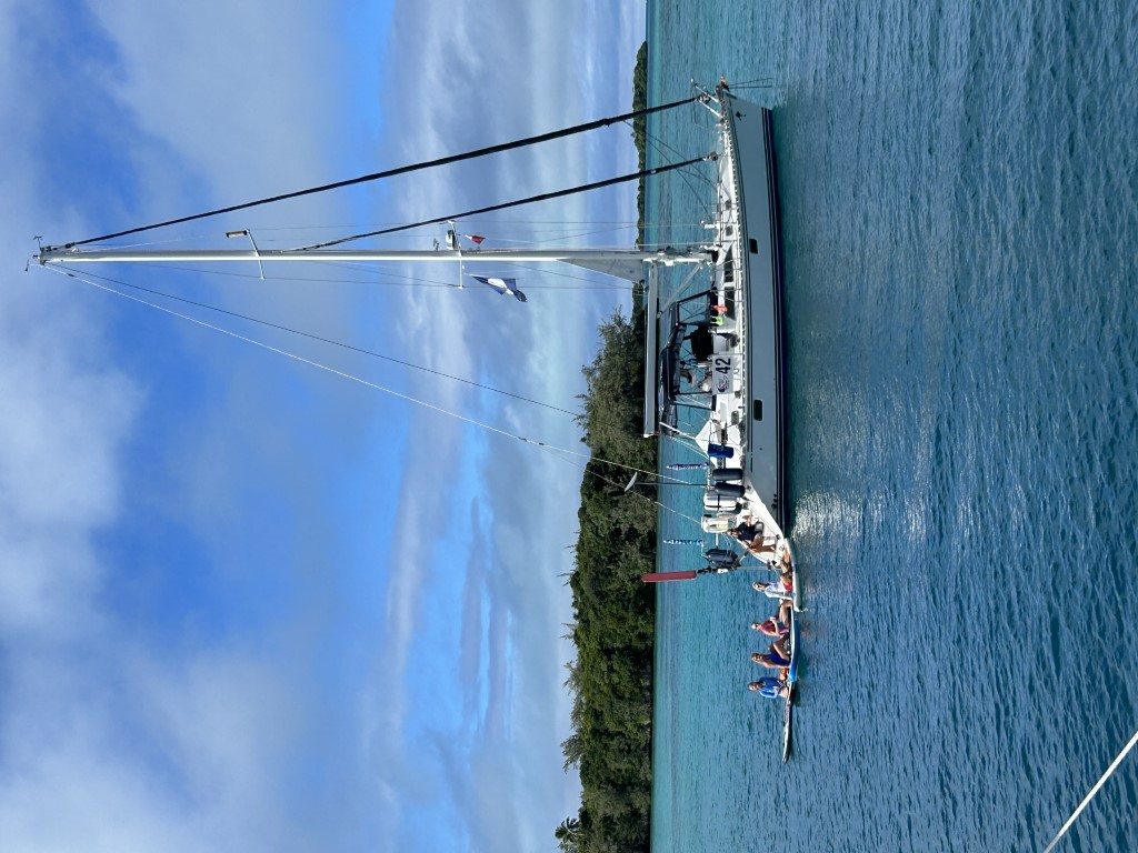
Bula Bula
“Bula” means “hello” and is the ubiquitous greeting in Fiji. The Republic of Fiji is an archipelago of over 300 islands located about one thousand miles north of New Zealand. We are officially more than halfway around the world from our starting location in France. Recall that longitude starts at zero degrees in Greenwich, England and increases westward and eastward to a maximum of 180 degrees. Our path has crawled slowly westward with steadily increasing longitude. We crossed the 180-point on our way to Fiji, and we are now in eastern longitude territory. Our current position is latitude 17 degrees 40.9 minutes South and longitude 177 degrees 23.1 minutes East.
We had a leisurely sail from Tonga to Fiji and arrived in 3.5 days. We entered and cleared customs at Port Denarau surrounded by superyachts, then transferred to the nearby Vuda Point Marina.


Fiji is a bustling island nation with ample natural resources. I was surprised to learn that nearly 40% of the Fijian population is of Indian descent. This demographic originated under British Colonial rule which employed indentured servitude for labor requirements. After the cancellation of indenture in 1920, Indians continued to freely immigrate. In addition to the majority Polynesian population, there are many Kiwis and expats from all over the world. Fiji gained independence in 1970.
As mentioned previously, Fiji is very protective of its natural environment and flexes a muscular biosecurity policy. As a result, they are very shy of dogs on boats. Even though our dogs are healthy and will remain on board Leviathan, Fiji is requiring us to remain at port until the government veterinarian gives his/her blessing. What that means in practice is that we will stay in one place until we are ready to leave the country. Fortunately, Yong and I can sightsee while the dogs stay on board. Interestingly, a biosecurity official visits our boat daily to make sure the dogs are aboard and photographs them to provide documentation!


We have enjoyed our time here in Fiji. This week, Yong constructed a full set of six Sunbrella covers for our winches, we picked up an impressive Fijian war club, and I went scuba diving. Many other rally boats are now congregating in Vuda, primarily for the purpose of getting boat work done. Fortunately, Leviathan seems to be in pretty good shape (shipshape, in fact) at present. We plan to stay for another 10 days before we depart for Vanuatu. Our friend Scott will be helping us make the next passage, and he will be arriving soon.


June 20, 2023
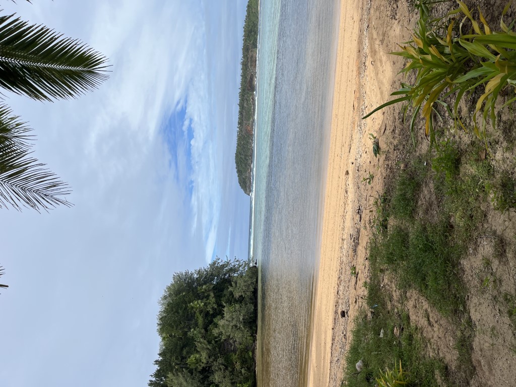
The Friendly Islands
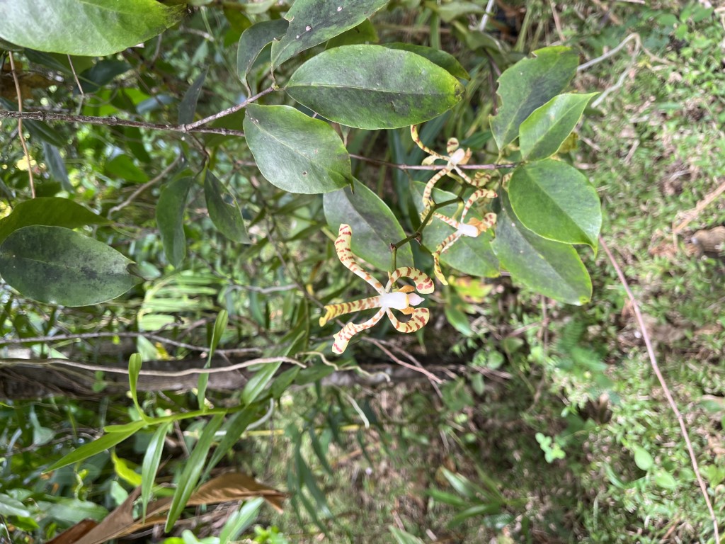
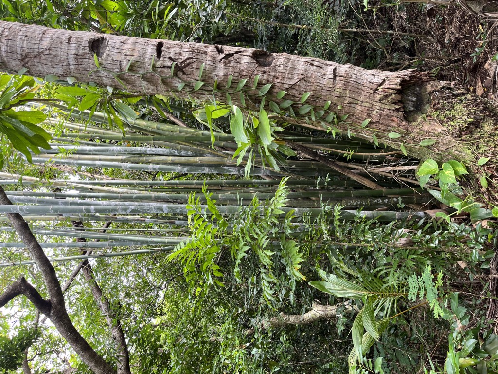
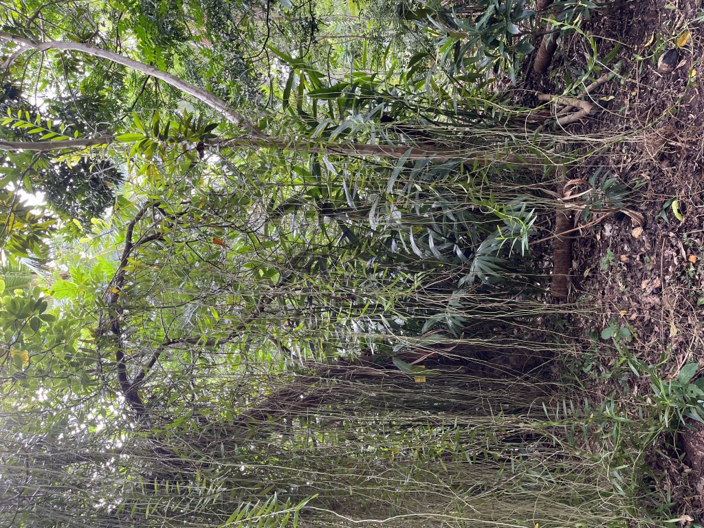
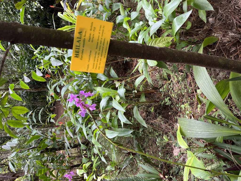
The Tongan Island group is known as the “Friendly Islands.” Tonga is far from the beaten track, but well worth the visit. The locals are, indeed, quite gregarious and the scenery is spectacular. We toured the island of Vava’u by bus and enjoyed visiting the Botanical Gardens at Ene’io Beach. The Gardens were established by a charismatic islander named Haniteli and currently contain over 650 botanical species. Haniteli is a local legend and civic leader who met with Pope John Paul II on more than one occasion.


Tonga was hit hard by the Covid Shutdown which barred tourism for over two years. The island nation only recently reopened, and our rally group is among the first to arrive. The locals survived by sharing resources and working together. Businesses are now reopened and the economy seems to be thriving. The Tongan Department of Tourism was very pleased that our flotilla of 26 vessels came to visit, and they rolled out the red carpet for us. One highlight was a dinner at the harborside restaurant Mango. The government arranged for the local high school brass band (an ensemble of around 30 musicians) to perform a concert for us. The performance was nearly flawless, and quite impressive given the small size of the local village. Unforgettable.


Our next stop is Fiji. Unfortunately, Fiji is another country that hates dogs. Although our dogs are healthy and have all the required vaccinations, Fiji is requesting a blood test that we don’t have (it wasn’t offered in the US). As a result, we will enter the country at a designated location and remain under bond (refundable) while a local vet performs the necessary test. No problem. We will hang out as required.
June 17, 2023
End of Watch
And now some sad news. After a long illness, my brother Ken passed away. I am happy that I was able to see him a couple months ago. This blog post will not descend into a maudlin obituary, as that is the last thing Ken would want. Instead, I will simply recall that several of the most memorable experiences I have shared with Ken involved sailing. When I bought my first sailboat, an Antrim 27 called Mirador, I invited Ken to join me for its maiden voyage on Lake Erie. Of course, I was not very sophisticated back then, so I didn’t bother to look at the weather report before departure. I was surprised that no other boats were heading out the channel at Toledo Beach Marina along with us. Nonetheless, we proceeded out onto Lake Erie where we encountered 30 knot winds and 4-6 foot waves. Our little 5-horsepower outboard sputtered and screamed intermittently when it caught air on the backside of each steep wave. As Ken steered and I began to raise the sails, it suddenly dawned on me that sailing in these conditions was probably not a smart idea. Maybe we should just turn around and go back into the marina. I should note that while I was quite scared, Ken was having the time of his life. Long story short, we dropped the sails and turned the boat back towards home. Now it was like playing a video game: keep Mirador lined up with the entrance channel and surf the waves back into the calm waters of the marina. The consequence of a mistake would result in Mirador smashed on the rock-strewn breakwater. Fortunately, under power of the outboard, we were able to safely return to the marina (the shrewd reader might be thinking that we should have just sailed back in under jib alone, and he would be correct; remember that we were complete novices). Ironically, as we were heading to Mirador’s slip, the outboard died and could not be restarted, so we drifted to a nearby pier and tied off. Fortunately, it didn’t die earlier in the maelstrom. I felt bad that I was unable to take Ken for a promised sail. Ken, on the other hand, thought it was quite a nice adventure. This proved to be a theme for most of our sailing excursions. Mishaps and occasional terror reliably occurred to spice things up, and Ken always reveled in the chaos.
Over the years, we sailed Mirador in a number of distance races including multiple Mills races on Lake Erie, the Port Huron to Mackinac race and multiple Chicago to Mackinac races. I could always rely on Ken to crew. His self-described position was “rail-meat.” When we moved to San Diego, Ken helped me trailer Mirador across the country and then helped me find a marina to keep her. We had dropped the boat off at Driscoll’s boat yard for some work and were celebrating at the Bali Hai on Shelter Island. Ken asked me where Mirador was going to live. I told him I didn’t know. He then pointed out the window and said “What about there?” We walked 50 meters over to the Shelter Bay Marina and found a slip right then and there. Months later, we expanded our sailing fleet and purchased a larger J109 sailboat named Blue Crush. Still feeling the racing bug, we decided to up the ante and enter the Pacific Cup from San Francisco to Hawaii. Of course, Ken joined us, and we had a blast.


Probably my fondest memory occurred about 10 years ago. Ken was planning to marry Robin, and I suggested that they should get married on Blue Crush. After all, as the owner and boat captain, I certainly was qualified. In fact, I also applied to an online ministry to gain additional credentials to perform a ceremony in California. Ken loved the idea and we made the arrangements. We had a beautiful sunny day for the ceremony at the dock followed by a brief cruise on San Diego Bay and dinner at the Bali Hai. A fantastic day.
Ken was excited that Yong and I were planning our sailing circumnavigation. Of course, he was invited to help us crew the boat from France to the Caribbean, and he was looking forward to the trip. Unfortunately, his declining health prevented his participation. I hope that he enjoyed our experience vicariously through the blog. It goes without saying that I will miss Ken greatly, and I send my warmest sympathies to his wife Robin.
June 3, 2023
Back in Black
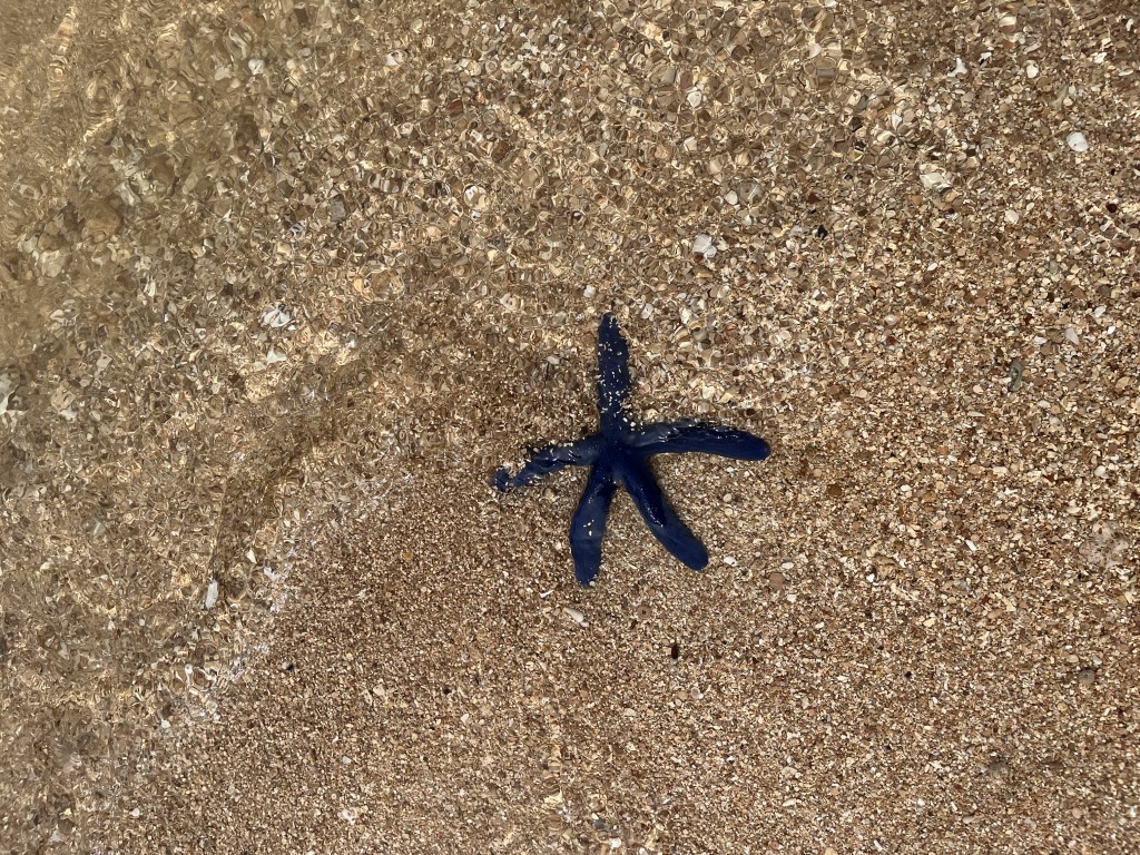
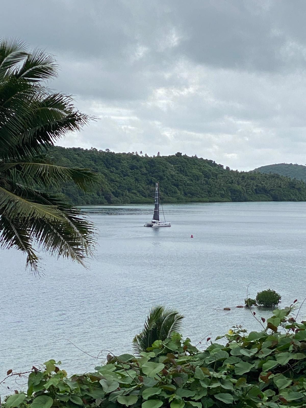
Joe, Al, Dora, and all the staff at the Vava’u Boatyard were fantastic. Leviathan was hauled out on Wednesday, sanded and painted on Thursday, and back in the water on Friday. We were able to get black antifouling paint, so Leviathan looks bad-ass and like Baker Mayfield, we are feeling pretty dangerous. Once we splashed, we headed to Port Maurelle, one of the myriad anchorages around Vava’u (there are at least 42 in the area) and enjoyed a night back on the water – quite a relief after being on land for a couple of days.


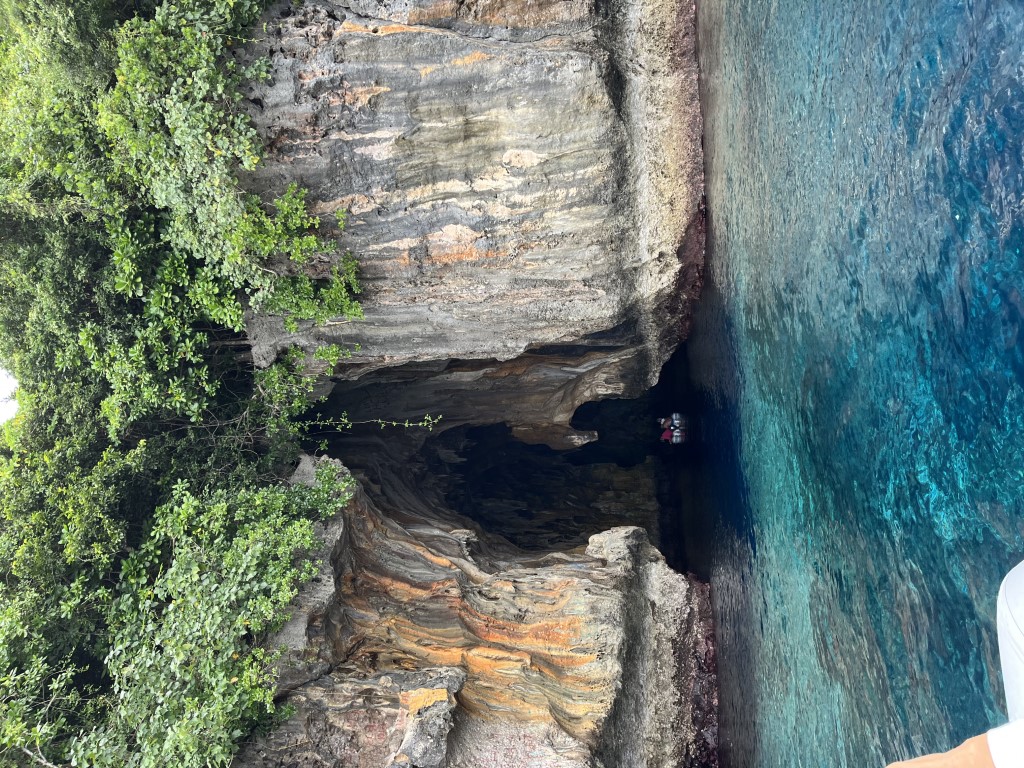
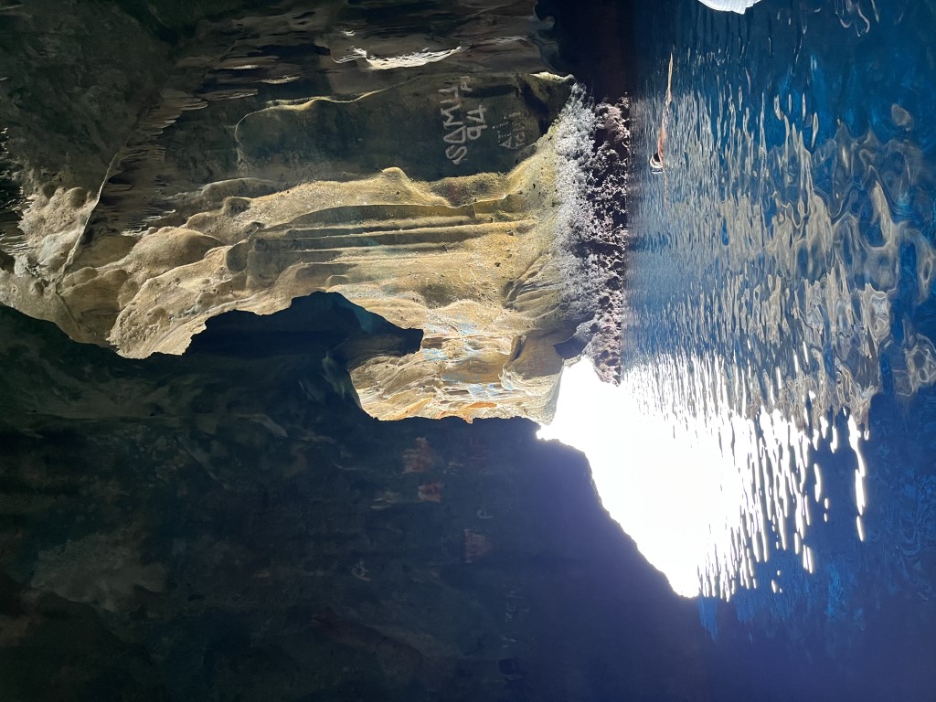
The next morning, we completed some boat work and cleaning before heading out on an excursion. We picked up our boat neighbors on Matilda (Matt and Fiona) and dinghied to the nearby Swallow’s Cave, where we had a spectacular snorkel. After returning to Leviathan, we pulled up the anchor and moved to Vaka’eitu where we attended a pig roast on the beach presented by a local family who lives on the island.


Tomorrow, we head back to Neiafu for some rally activities and briefings.
Older Posts