Sailing around the world
Click to see current location and track.
November 26, 2023
Cape Town
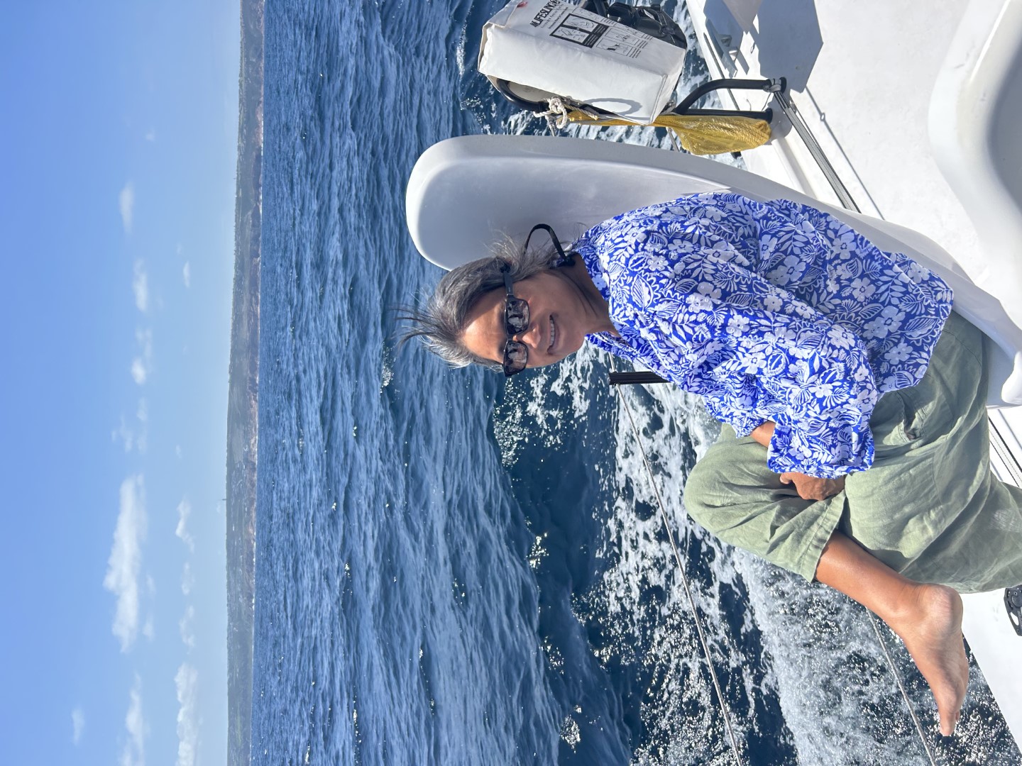
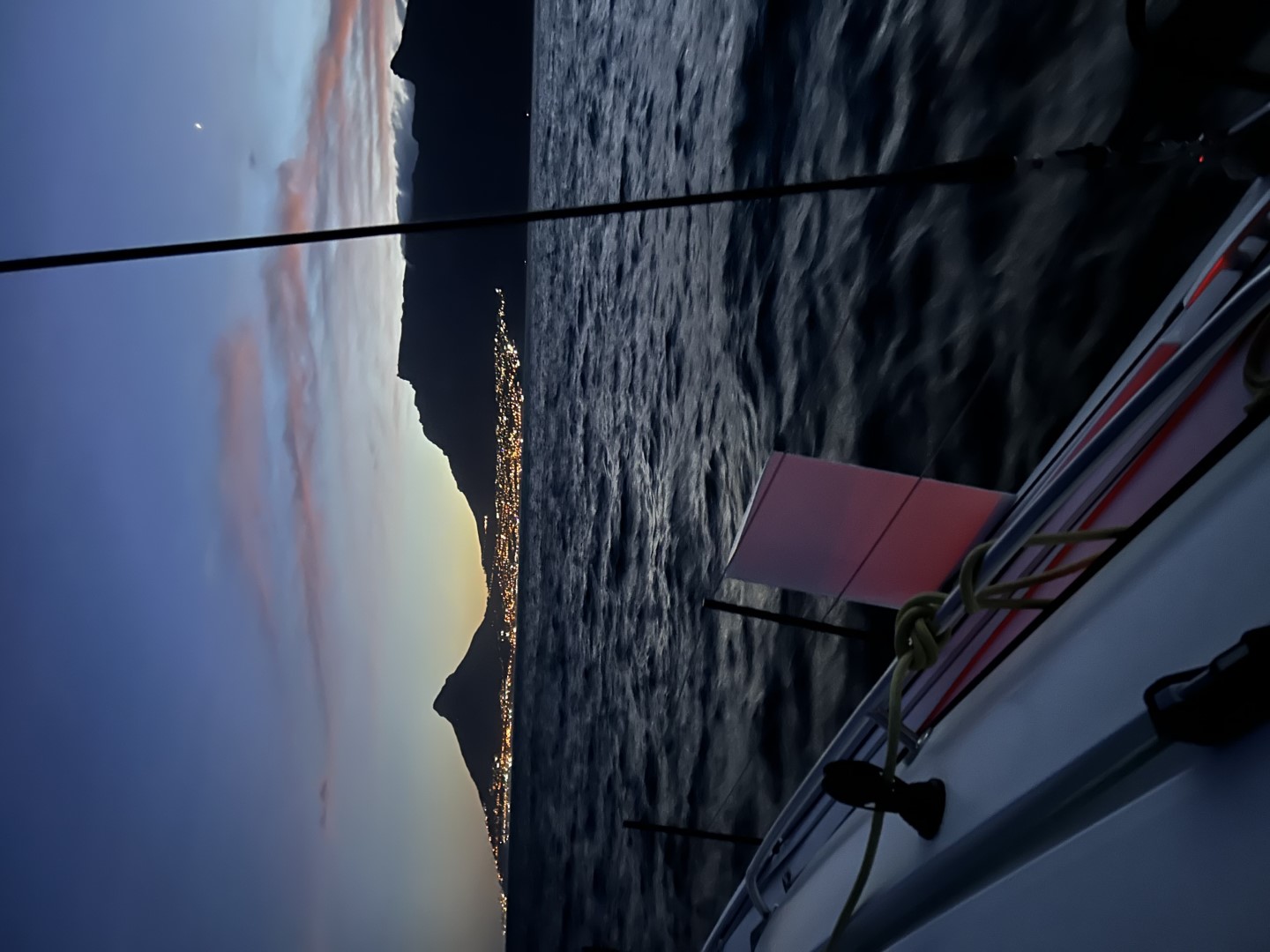
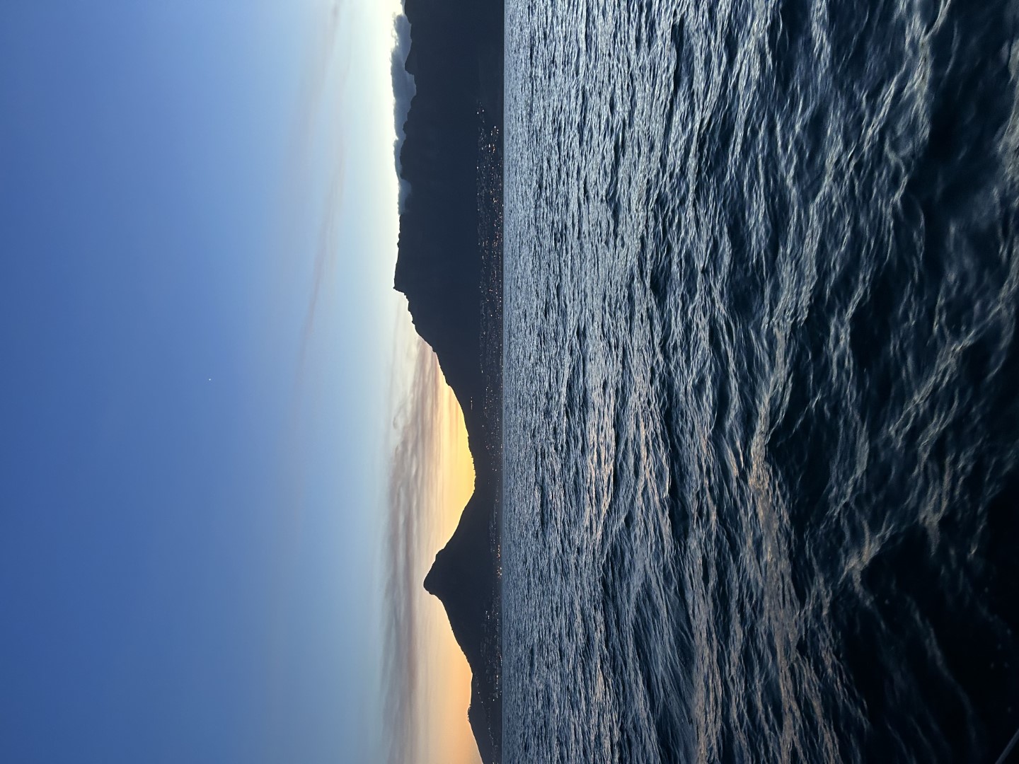
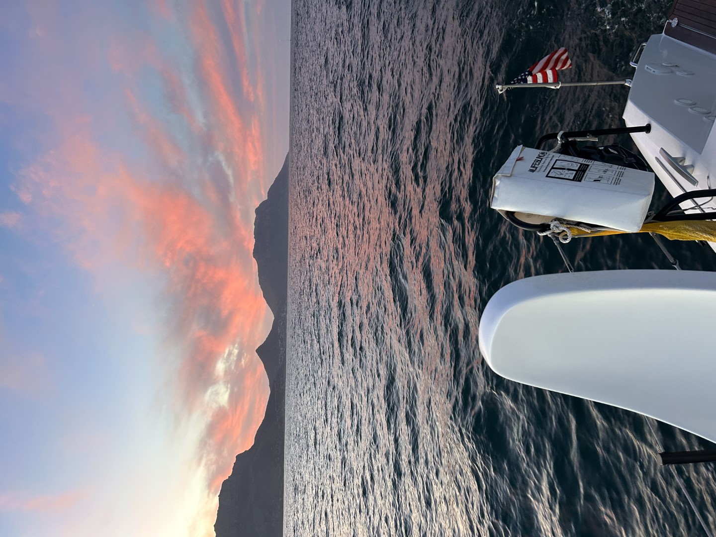
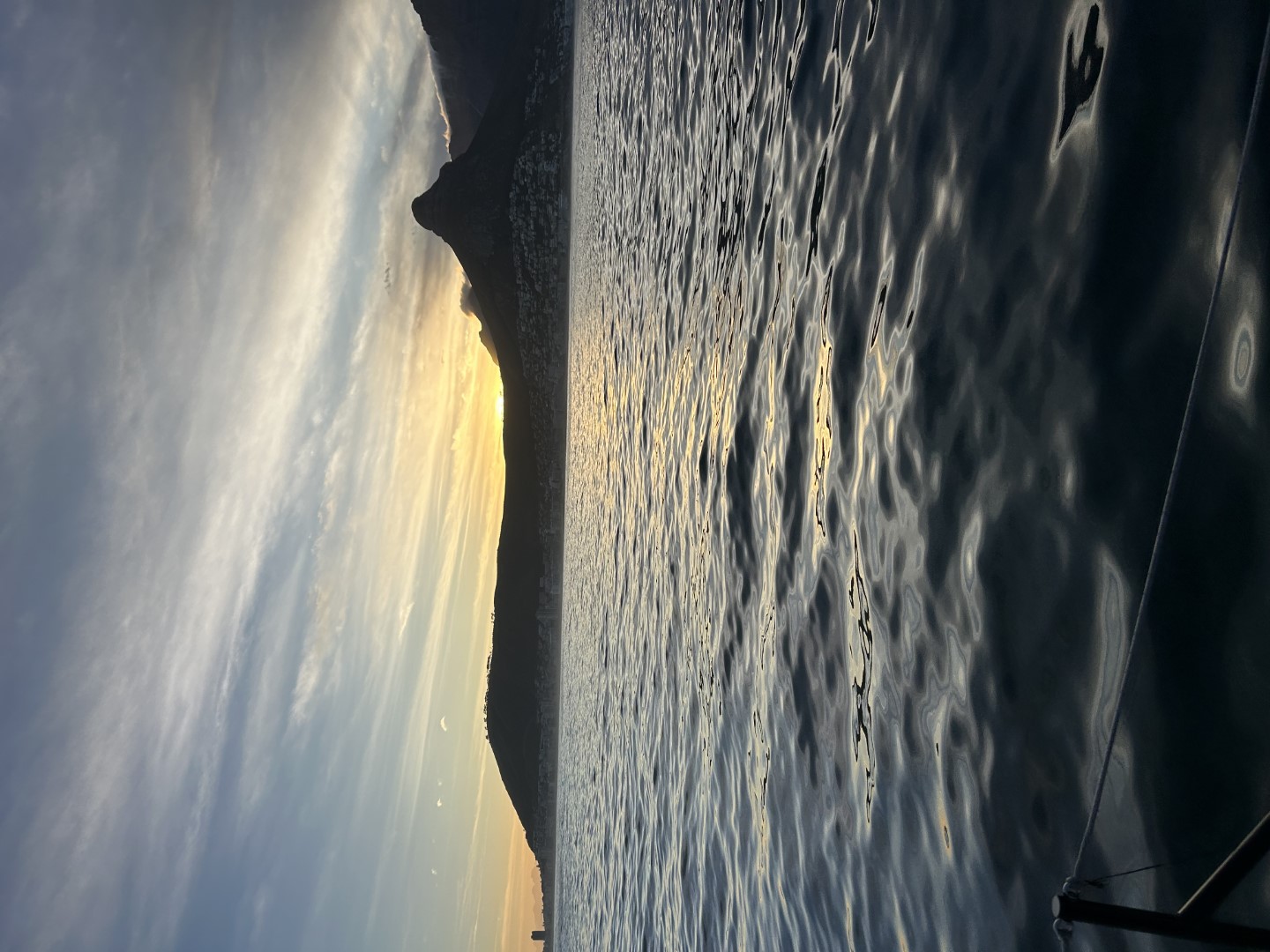
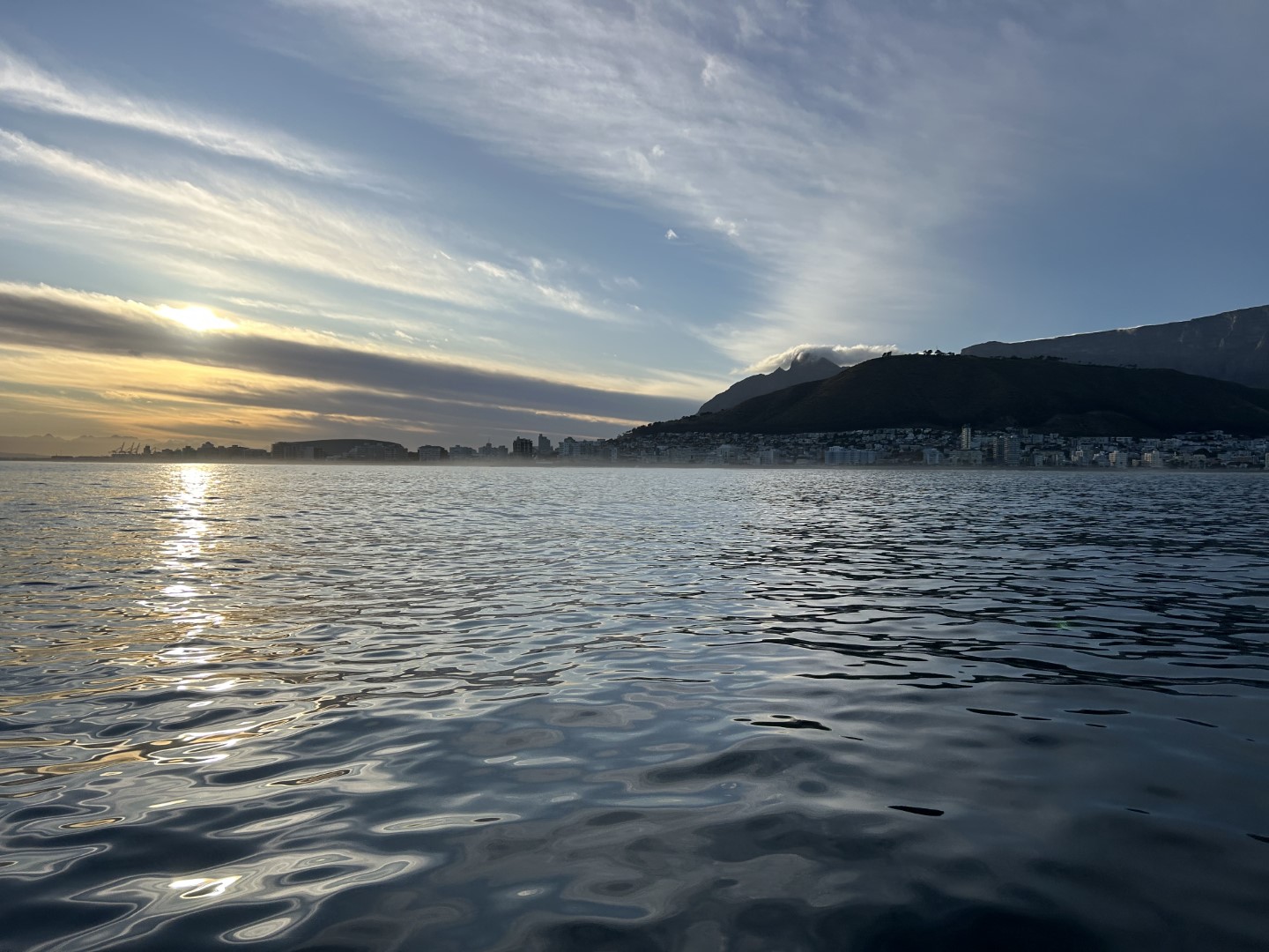
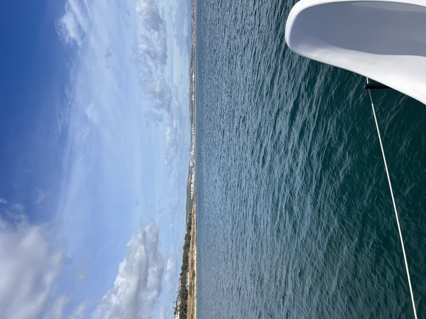
As planned, we left Mossel Bay on Thanksgiving afternoon, and on the final leg to Cape Town, we had a little bit of everything: upwind, downwind, and no wind (and no turkey). We cruised past Cape Agulhas Friday morning and passed from the Indian Ocean to the Atlantic. Ultimately, we had a very nice voyage and arrived in Cape Town at dawn, passing by the iconic Table Mountain and entering the harbor.


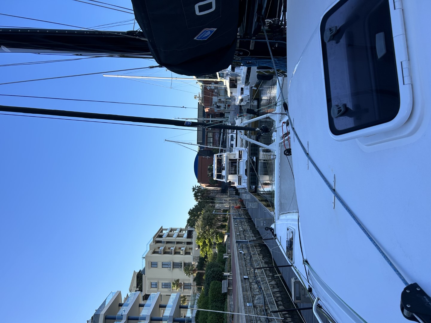
Upon our arrival, we quickly became familiar with the concept of load shedding. Apparently, South Africa has had inadequacies in its power grid since 2007. The solution has been the institution of rotating temporary blackouts which affect the entire country. Our marina for the next six weeks is located in the Victoria and Albert Waterfront area of Cape Town which is guarded by two low bridges. The first is a swing bridge which can be operated manually. The second is a bascule bridge which requires electrical power to raise. We arrived around 7am and contacted the bridge operator on vhf radio, requesting passage. We were told that we would have to wait for the power to come back on. He explained that the second bridge could not be opened due to load shedding and that we would have to wait a short time. After nearly three hours (which felt like 40 years), the power was restored and we made our way into the Promised Land and our cozy slip. We arrived with buddy boats Fat Kat and Renegade, and once we were secured, we journeyed into the wilderness to find the first available bar. The V&A Waterfront area is a modern development full of museums, restaurants, and shops, so our search was short and fruitful.


What will we do in Cape Town for the next six weeks? Yong is going back to the States for the Holidays, and I will stay with the dogs! There is a long to-do list of boat chores that will require attention before we head to Namibia, and then another Atlantic crossing.
November 21, 2023
On the Wild Side
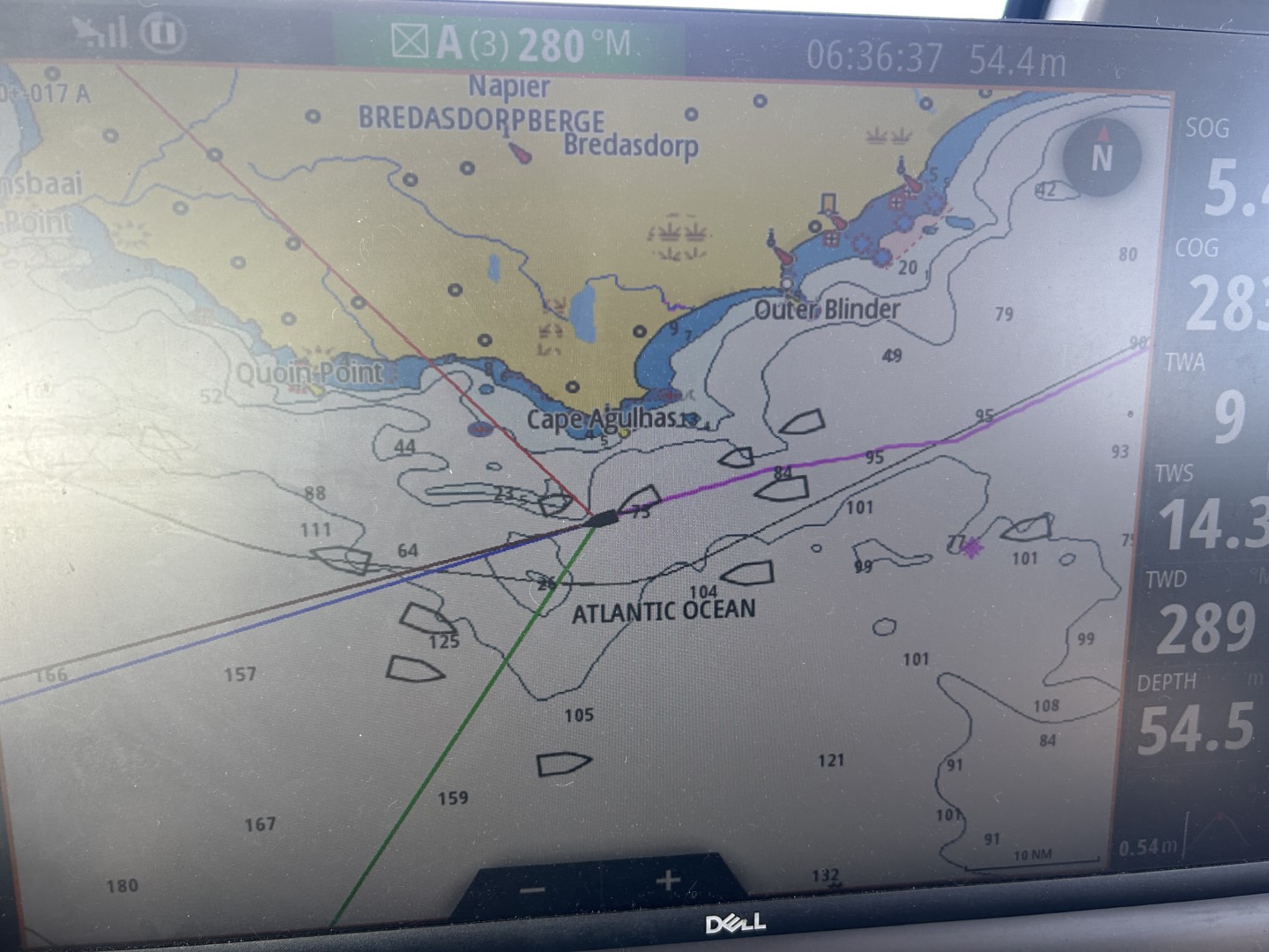
As we forge onward towards Cape Town, we sail along the Eastern and Western Cape Provinces of South Africa, a coastal region that the locals refer to as the “Wild Coast” due to its paucity of safe harbors and frequent nasty weather. The seabed is strewn with shipwrecks as a testament to this appellation. Before we left Richards Bay, we were given stern warnings to be cautious and wait for the perfect weather window. Unfortunately, there is no perfect window in this region, so we struck out with a plan to reach Port Elizabeth (aka Gqeberha), some 500nm away, under suboptimal conditions. Our plan was initially stymied by the local harbormaster who closed the port for eight hours due to inclement weather. Once the weather moderated a bit, we were given permission to leave, and we exited before they could change their minds! We started off with nice sailing, but then found ourselves motor sailing (or just simply motoring) towards our goal. As we progressed, the window opened a bit, so we were able to reach the safe harbor of Mossel Bay (another 200nm further), and now we are just 250nm from Cape Town.


Contrary to popular opinion, The Cape of Good Hope is not the southernmost point of the African Continent. This honor belongs to the lesser-known Cape Agulhas. The Cape of Good Hope is an important waypoint, but geographically it is simply the southern tip of the peninsula that guards Cape Town. In any event, we will need to round these two capes in order to arrive in Cape Town. As we bob in the Mossel Bay waters behind our anchor, we are studying the weather charts to determine the best departure time for our next leg. Right now, it looks like we will be leaving on Thanksgiving afternoon. I hope we are not in a food coma then!


November 15, 2023
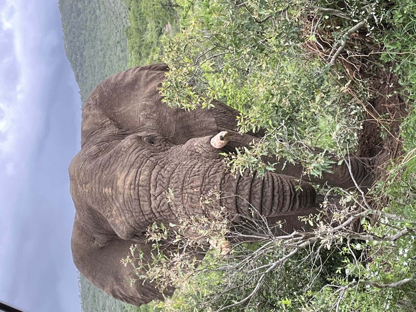
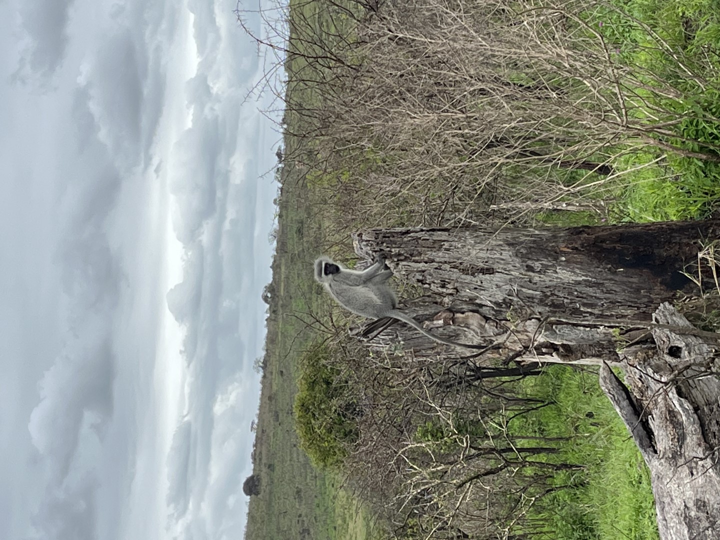
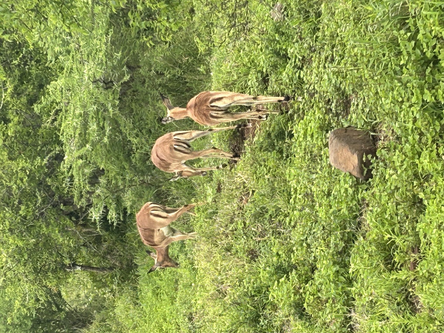
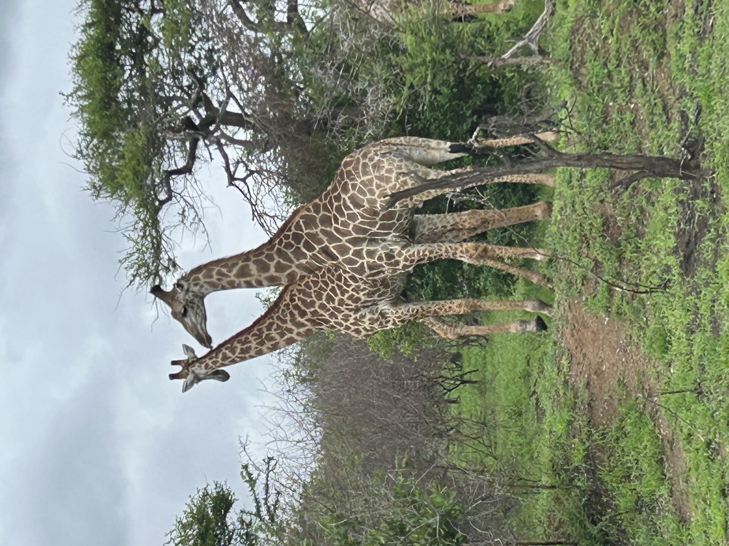
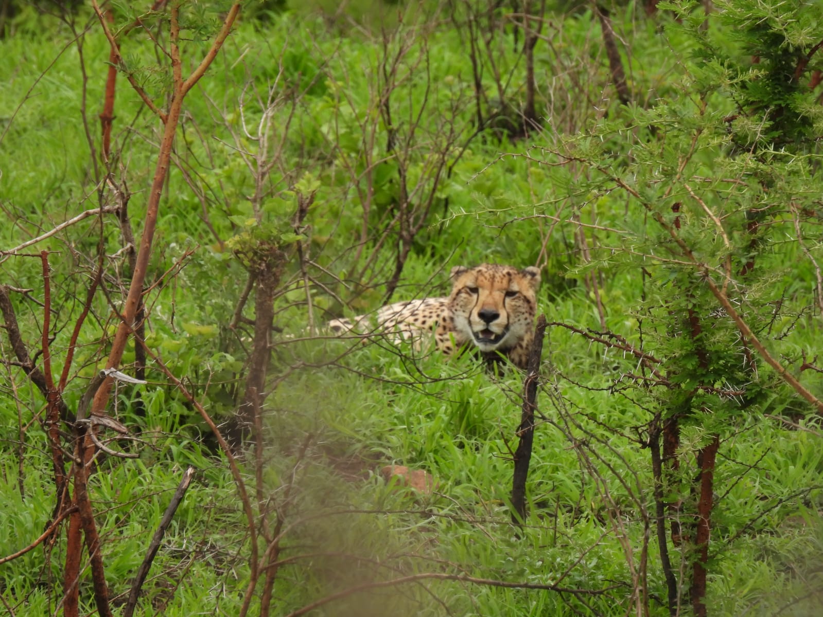
It's a Zoo Out Here!
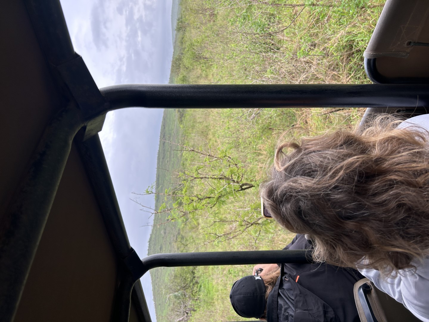
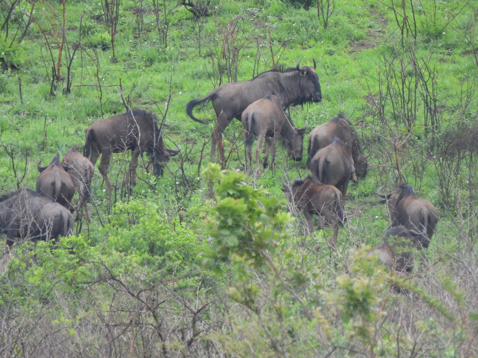
As this is our first time in Africa, we made a mandatory pilgrimage to the nearby Hluhluwe (pronounced Shu-shu-lay) Game Reserve. The park is quite close, only a one-hour bus ride. Once there, we assemble into open air vehicles and progress into the bush. I must admit that it feels like we are in the film, Jurassic Park. We initially strain our eyes to see any movement around us (like a T. rex). At first, we spot a herd of cape buffalos far away, and I think to myself that we might not get any closer to any wildlife. A little further along, the floodgates open and we begin to see all sorts of fantastic creatures. The locals talk about the “Big Five” animals, a term which refers to the five most dangerous animals to hunt and includes the elephant, cape buffalo, rhino, lion, and leopard. We saw many of the first three, but we struck out on the cats which are pretty rare in this park. I shouldn’t say that we completely struck out on cats, because we were lucky to see two cheetahs. We spent about five hours in the park, and I was amazed at the diversity of life there. One tiny surprise was watching dung beetles roll their burdens along the dirt road. Overall, we had a great time and we got some good pictures with just an iPhone. The cheetah pictures and the other closeups are courtesy of Jono Stewart from sv El Dorado.


November 11, 2023
On To Africa
Or How I Was Schooled by the Indian Ocean
On our last scheduled day on Reunion Island, we rode the local bus to a nearby beach where we relaxed (but didn’t swim). We are all ready for our departure to Africa. As mentioned previously, this is a tricky passage due to fickle weather patterns and rough seas. The Indian Ocean, we are told, can be quite vicious. We respond: it’s just another ocean, it will be no problem. Famous last words.


We departed with the fleet and were treated to beautiful sailing conditions. Approximately two hours into the journey we heard a couple of loud bumps and all of a sudden, our autopilot started turning us in circles. We switched to manual steering and found the wheel unresponsive as we drifted away from a large floating fishing net. Engines on, sails down, and switch to tiller steering. Next, we head back to Reunion to assess the problem. On the way, we submerge the GoPro and confirm that we still have both rudders. We also determine that the autopilot is now functional. Further troubleshooting will await our return to shore, given that we are so close. Once back at the marina, we are assisted by the crew of El Dorado to assess the problem and determine that it is nothing serious: the pin that links the wheel steering quadrant to the rudder became disengaged during the encounter with the heavy fishing net, but it is undamaged. Problem solved! We will try to leave again tomorrow.
The next day, we leave port again and point the boat westward for Africa. The first few days, we enjoy outstanding sailing conditions, and we catch up to the rest of the fleet. Unfortunately, we see on the weather gribs that a low-pressure system is developing along the rhumb line which will bring strong headwinds (remember that sailors prefer wind from behind, not on the nose). After passing the southern coast of Madagascar, we adjust our course, angling northeast to avoid the worst of the oncoming storm. Despite this maneuver, we are still given a stern beating from the Indian Ocean with 35 knot winds and brutal bone-crushing waves. We tell ourselves that Leviathan was built to withstand such torture in order to quiet our concern about the boat breaking in half. Ultimately, we get around this weather system and head for our destination, dodging tankers all the while. The wind rotates in our favor, and before we know it, the African continent appears before us through the haze and setting sun. As we approach the coast, we catch a ride on the Agulhas Current which gives us a 3-knot speed boost as we rocket south towards Richards Bay, our first destination in South Africa. We are a bit frazzled as we enter the harbor via a small channel and leave white-knuckle conditions behind us. The harbor is calm, but poorly lit in the incipient darkness. A small powerboat from the Zululand Yacht Club comes to our rescue by providing a bright yellow beacon which we can follow to our designated slip through the inky blackness. We are welcomed by a large group of sailors and a bottle of champagne. I think I’m starting to like South Africa!


Older Posts